Date: 06-04-2021
Distance: 37k
Duration: 4 days
Weather: Partly cloudy, 0-15°C
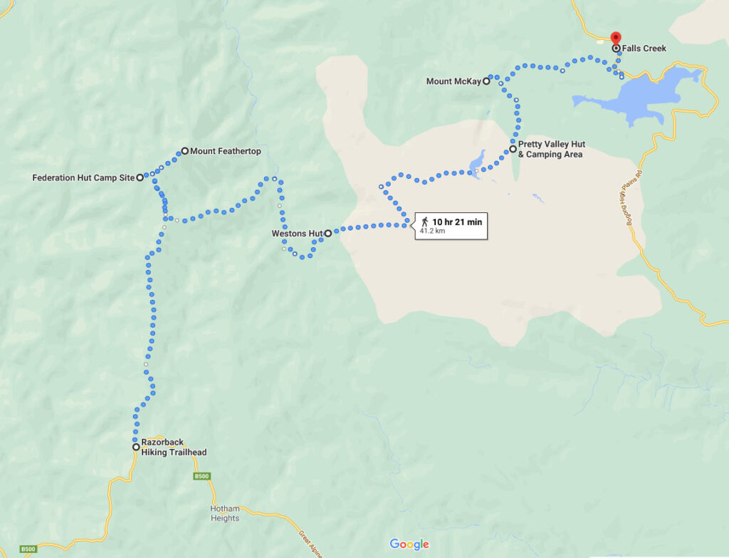
So the plan was to walk from Hotham to Falls then meet up with some friends and return via the Falls to Hotham Alpine Crossing but the weather turned pretty bad and cut the trip short. This is the first part from Hotham to Falls Creek via Razorback Spur and Weston’s Hut. I camped out at JB Plain Mt Hotham the night before so I could get an early start in the morning which worked out well.
Day 1: Mt Loch Carpark > Federation Hut (and Diamantina Spur)
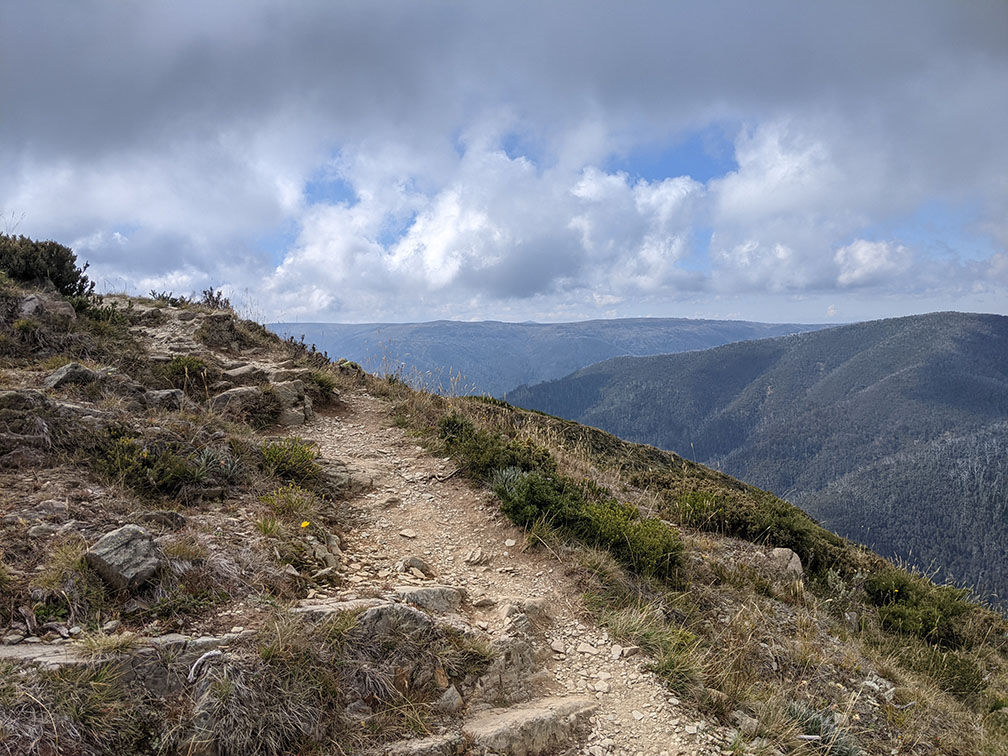
I parked at Mt Loch Carpark as that was the planned return point for the end of the walk then walked down the hill along the road to the start of the Razorback Spur walking track.
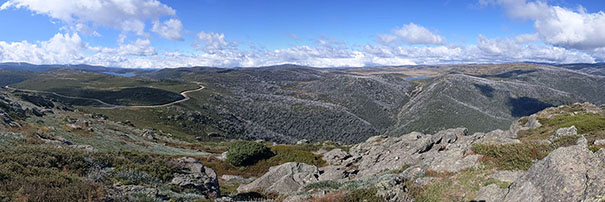
The forecast was for thunderstorms and the walk up the road seemed pretty bleak but the weather came good and it turned out to be a really nice day. The spur itself is an easy walk with great views back towards Hotham and also out to the west.
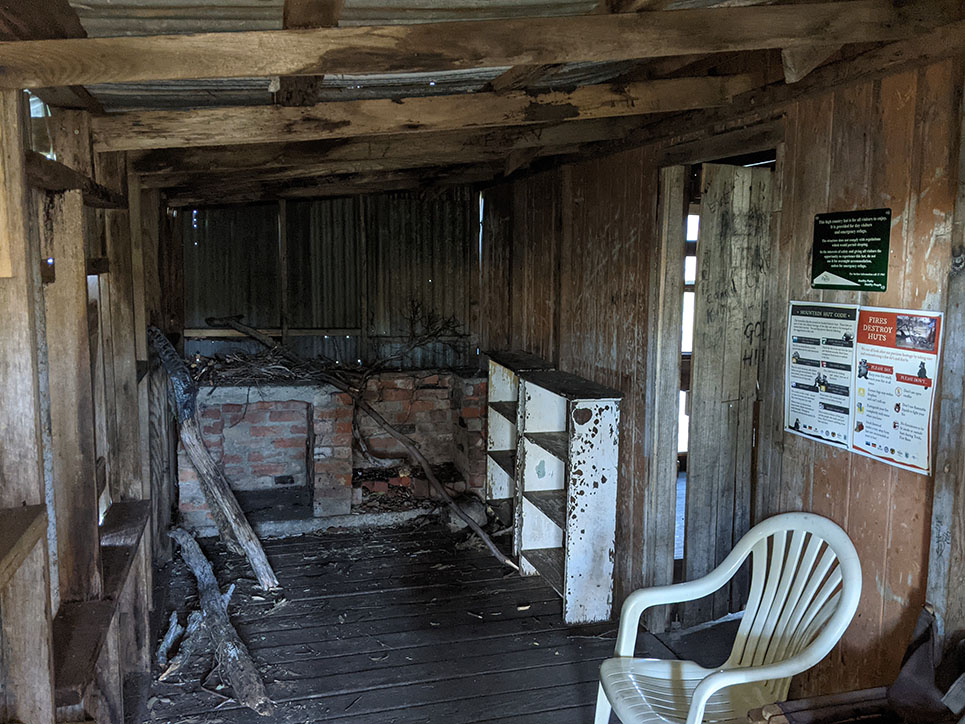
A steady, easy walk got me to Federation Hut where there was only 2 other campers so I setup camp and chilled out in the sun for a bit (it’s worth mentioning I had pretty reliable 4G Optus reception for most of this trip).
The water tank at the hut was bone dry, one of the other campers mentioned a spring on the way up from Harrietville but “the walk up was killer” so I decided to check out another water source (by heading towards Mt Feathertop then taking the trail towards the MUMC hut)… Success!
By the time I got back the hut was well and truly crowded with campers (easily 20 tents all on top of each other), Easter holidays during COVID, I can only blame myself, it was getting late but I decided to pack up and head off towards Diamantina Spur where there was an unofficial camping spot marked on the map (no water or toilets) but I was headed that way tomorrow anyway so why not.
The camping area on Diamantina Spur was awesome and there was only one other person there, next time I think I’ll skip Federation Hut and just camp here.
Day 2: Diamantina spur > Blair Hut
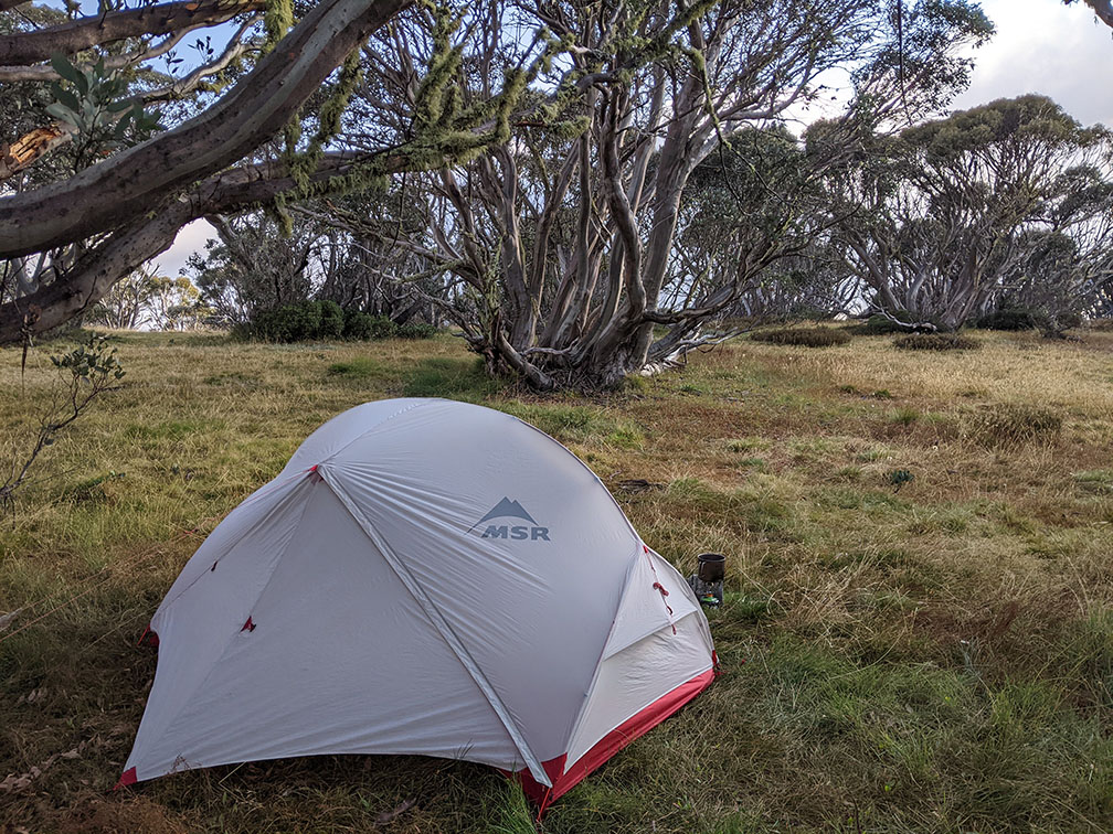
Made my way down Diamantina Spur (how do you even pronounce that?). Not much to say except that it’s steep! I’m not normally a fan of walking poles but this was no ordinary hill. I stopped to fashion a couple of Black Diamond Elite carbon fiber trekking poles out of some twisted gum branches I found on the trail and was good to go again. BOM had promised a thunderstorm but all I got was glaring sun and category 6 UV rays.
Passing a couple of people going up got me reflecting on whether going up or down is better. I convinced myself that they were wrong and I was the smart one for going down and forged ahead eventually making it to West Kiewa logging road. The creek is right by the road and there was a nice spot to ice my ankles and refill my desperately low water supply.
The plan was to walk to Weston Hut but to be honest I was pretty gassed and if the climb up the other side of the valley was anything like the trip down I was going to need some fresh legs so I decided to stay at Blair Hut and tackle the mountain tomorrow. The hut itself is pretty impressive and looks like it’s straight out of Valheim. I managed to score a spot by the creek and made some Deb, chives and gravy. It was probably lucky I chose to stay as that thunderstorm finally decided to hit so I crashed out in the tent to the real life sounds of rainymood.com.
Day 3: Blair Hut > Weston Hut > Pretty Valley Camping Area
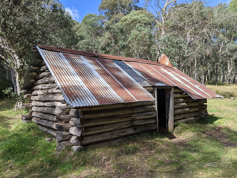
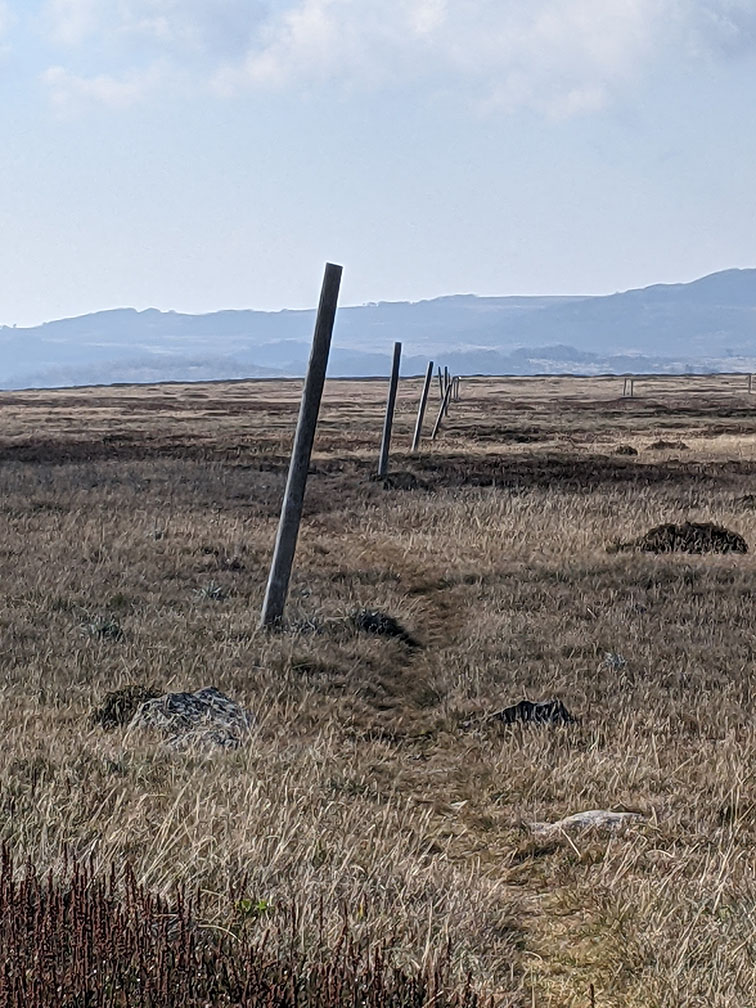
Starting early I made my way towards Weston’s hut, the sign just out of Blair’s said 1.5km (1hr) which was promising. Sure enough, after a solid one hour stomp up the hill I was there. Stopped for some lollies and a chat to the locals then continued on up the hill. Another hour got me to the plateau where it was a light easy walk to Pole 333 in the distance. Next stop Pretty Valley!
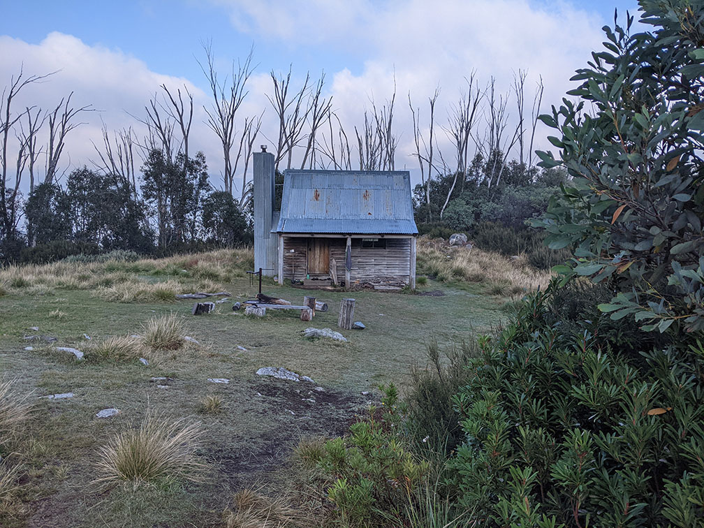
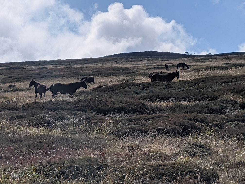
Now I knew I was supposed to head towards Tawonga Huts then take a right onto Fainter Fire Track but I could see a family of 5 cutting across the plateau, damn that old man with his map and compass, I knew for sure they were shortcutting it to avoid the climb. Anyway I stuck to my route and spotted some wild Brumbies which reminded me of Zelda BOTW. I avoided the urge to sneak up on them and continued on to Fainter Fire Track, sure enough it headed straight back up to the same elevation I’d just descended, oh well, I had time. Descending into pretty valley I suddenly realised how close to Falls Creek I was as I could see plenty of cars and mountain bikes zooming around. I set up camp in the camping area by the horse yard but later realised I should’ve camped by Pretty Valley Hut as there were plenty of sites and it’s where the water was.
Day 4: Pretty Valley > Falls Creek
Had a lazy start to the morning as Falls was just over the hill and check-in wasn’t until 4pm. That gave me time to let the tent dry out while I had a wander around. The walk back was an easy stroll up the road so I took a slight detour to summit Mt McKay which had some amazing views across the plateau back towards Hotham which I’d just travelled.
Cutting across the open plain it was easy to imagine what this place must be like in winter and why it’s so popular. Eventually I made my way down into the village and got reacquainted with civilisation before meeting up with the others.
Overall a really enjoyable trip and I look forward to completing the whole circuit I’d originally planned.
Do you ever look at a branch and think "Well it didn't fall last night so it's probably not gonna fall tonight"?
